
In this article
- In short
- How can the sea invade the coast?
- In Québec: a real risk along the St. Lawrence
- In France: 1.5 million people in exposed areas
- How to tell whether your home is exposed
- Alerts to watch
- Prepare your home before storm season
- During the storm
- After the storm
- Your kit if you live near the water
- Frequently asked questions
- Sources
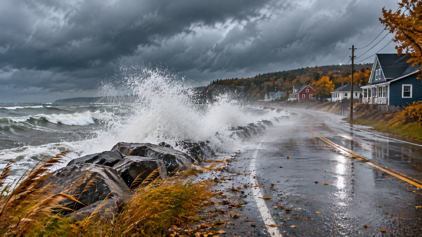
On December 6, 2010, a winter storm pushed the St. Lawrence into the streets of Sainte-Luce, Sainte-Flavie and Rimouski. In Rimouski the water reached 5.47 m (17.9 ft), the highest level recorded since at least 1914. Ten months earlier, in France, storm Xynthia killed 47 people in a single night, 29 of them in one town in Vendée. In both cases, the wind was not what killed or destroyed the most. It was the sea, rising where no one expected it.
Coastal flooding is poorly understood because it is rare over a lifetime. Yet in Québec, in Atlantic Canada and in France, hundreds of thousands of people live in areas the sea can reach during a storm. This guide explains how storm surges form, what the numbers say, how to tell whether your home is exposed, and how to prepare your house and family.
In short
In short. Coastal flooding happens when wind, low pressure and waves push the sea above its normal level, especially at high tide. In Québec, the Lower St. Lawrence, the North Shore, the Gaspé Peninsula and the Magdalen Islands are the most exposed. In France, about 1.5 million people live in areas that could be flooded by the sea. Key steps: know your tide times, watch the alerts, move belongings up high, shut off power if water threatens to come in, stay away from the shore and, as a last resort, go upstairs rather than outside.
How can the sea invade the coast?
The Québec government describes a storm surge as wind and atmospheric pressure pushing water toward the coast, causing an abnormal rise in sea level and high waves. This water can flood coastal areas and speed up shoreline erosion, pushing the coast back and lowering beaches.
Météo-France, the French weather service, calls the same hazard waves and coastal flooding: sudden, severe flooding of the coast, ports and river mouths caused by a temporary, unusual rise in sea level. Three ingredients add up.
The tide
In France, tidal range is expressed as a coefficient from 20 to 120. The higher it is, the higher the high tide. On the St. Lawrence, tides are large in the estuary, which is why Québec advises shoreline residents to check the tide table for their area. The same storm can go almost unnoticed at low tide and become dangerous at high tide.
The surge
The surge is the extra water the weather adds on top of the predicted tide. According to Météo-France, it has three main causes:
- Wind, which piles water against the coast, more so when it blows for a long time from the same direction.
- Low pressure: each 1 hPa drop raises the sea by about 1 cm. A low at 980 hPa, compared with an average of 1,015 hPa, adds about 35 cm (14 in).
- Waves and swell, which stack water onto the shore as they break. Swell can come from a storm far offshore.
Seabed depth, seabed type and the angle of the coast to the swell make the effect worse or milder. During Xynthia, the surge reached 1.53 m (5 ft) at La Rochelle, with a tide coefficient of 102.
Danger peaks when all three arrive at the same time.
- High tideA high coefficient in France or a spring tide in the St. Lawrence estuary: the sea is already high.
- Weather surgeOnshore wind and low pressure: about 1 cm of rise per hPa lost.
- Waves and swellBreaking waves add water and pound seawalls, which can fail.
Sources: Météo-France, Government of Québec
In Québec: a real risk along the St. Lawrence
According to the Québec government, communities in the Lower St. Lawrence, the North Shore, the Gaspé Peninsula and the Magdalen Islands are especially exposed to storm surges and coastal erosion. These are regions where people often live a few metres from the water, where Route 132 or Route 138 runs along the shore and where a single road can connect an entire village to the rest of the province.
The December 6, 2010 storm
The Université du Québec à Rimouski report on this storm documents major damage to coastal infrastructure along the south shore of the estuary and the north shore of Chaleur Bay. Sainte-Luce, Sainte-Flavie, Matane, Baie-des-Sables, Sainte-Félicité, Métis-sur-Mer, Saint-Ulric, Carleton-Saint-Omer and Maria were among the areas hit.
A few figures from the report show the scale of the event:
- In Rimouski, the maximum measured level was 5.47 m (17.9 ft), with a surge of 1.05 m (3.4 ft). It was the highest level since at least 1914, with an estimated return period of 149 years.
- Three days after the storm, researchers photographed about 155 km (96 mi) of coastline, for a total of 4,034 photos.
- They mapped 813 buildings and 75 km (47 mi) of road, carried out 765 flooding field surveys and more than 500 erosion measurements.
Water added by the storm (m)
- Rimouski (QC)1.05 m (3.4 ft)
- Belledune (NB)0.97 m (3.2 ft)
- Rivière-au-Renard (QC)0.55 m (1.8 ft)
Source: Quintin, Bernatchez and Jolivet, UQAR, 2013
Fiona, in 2022
On September 24, 2022, post-tropical storm Fiona made landfall in Nova Scotia. Initial CatIQ estimates put insured damage at around $660 million across Atlantic Canada; the Canadian Hurricane Centre now cites more than $800 million. In Québec, insured damage exceeded $11 million, largely from flooding in the Magdalen Islands and storm-surge erosion along the Gaspé coast. In Port aux Basques, Newfoundland, the water reached a record 2.75 m (9 ft).
What lies ahead for the coast
The Ouranos consortium estimates that without adaptation, erosion could threaten more than 5,000 buildings and expose nearly 300 km (186 mi) of roads by 2065, at a cost of nearly $1.5 billion, not counting flooding costs. Safety spending related to coastal flooding could reach $23 million a year by 2050.
In France: 1.5 million people in exposed areas
According to the French environment ministry’s key figures on the sea and coast (2024 edition), areas that could be flooded by the sea cover 11,100 km² (4,286 sq mi). About 1.5 million people live there: 65% in mainland coastal towns, 5% overseas and 30% in estuary towns (Gironde, Loire, Seine). Of the 8 million permanent residents of coastal towns, about one in eight is exposed.
Nearly 1.4 million homes are concerned, including 648,700 houses and 726,900 apartments. The Eastern Channel and North Sea coast (353,500 homes) and the Mediterranean (352,200) are the most exposed. The ministry also counts 864 especially vulnerable towns and 165,000 buildings below the level of a 100-year event. In addition, 22% of the mainland coastline is retreating because of marine erosion.
Number of homes
- Eastern Channel and North Sea353,500
- Mediterranean352,200
- Overseas (excl. Mayotte)54,400
Source: SDES, Chiffres clés de la mer et du littoral, 2024 edition
Xynthia, the night that changed everything
On the night of February 27 to 28, 2010, storm Xynthia struck Western Europe. It killed 59 people, 47 of them in France. In La Faute-sur-Mer, Vendée, 29 people died, caught in their sleep in a neighbourhood built in a hollow behind a dike. The water there reached 2.80 m (9.2 ft). Insurers paid out on 470,000 claims in 28 departments, for €1.5 billion, and the French state bought back homes in Vendée and Charente-Maritime for about €300 million.
Xynthia taught two lessons. First, single-storey homes are traps: Météo-France points out that people in houses without an upper floor are especially exposed during sudden events. Second, a dike can fail or be overtopped. It was after Xynthia, in 2011, that a dedicated waves and coastal flooding warning was added to Météo-France’s system.
How to tell whether your home is exposed
Three checks will give you a good idea:
- Your elevation and distance from the shore. Low ground only a few metres above high tide, even several hundred metres from the water, can be reached if nothing stands in the way.
- Official maps. In Québec, ask your municipality or regional county municipality (MRC), which know the erosion and flooding zones. In France, check the Géorisques website and your town’s coastal risk prevention plan (PPRL).
- History. Ask long-time neighbours where the water reached in 2010, during Fiona or during Xynthia. High-water marks are often the best map there is.
The My risk radar page helps you review the hazards in your area, and the Coastal flooding fact sheet sums up the essential steps.
Alerts to watch
In Canada, Environment and Climate Change Canada issues wind, rainfall and storm surge warnings for coastal regions. Québec advises signing up for your municipality’s citizen alerts and following Urgence Québec. Before driving, check Québec 511: Route 132 is sometimes closed by waves.
In France, the Météo-France warning map includes a waves and coastal flooding icon. At orange level, the official advice is not to go out to sea, to move away from coasts and estuaries, to watch the rising water and to protect your belongings. At red level, stay informed through the authorities and evacuate only when they order it, taking your emergency kit.
The PrépaCivile live watch shows Environment Canada warnings and Météo-France alerts on a single map.
Prepare your home before storm season
In Québec, the worst storm surges often happen in fall and winter, when lows are strong and shore ice does not yet protect the coast. In France, Xynthia struck in February. Prepare in September, not on the day of the warning.
Basement and ground floor
- Store valuables, documents and hazardous products on high shelves or upstairs.
- Locate your electrical panel, gas valve, propane tank valve and the outlet valve on your heating oil tank: Québec asks you to shut them off if water threatens to come in.
- Have plywood panels cut to fit the windows that face the river or the sea.
- Have your sewer backwater valve checked to prevent backflow.
Documents and insurance
In Canada, most basic home insurance policies do not automatically cover damage from overland water or the sea: check your policy and available endorsements. In France, natural disaster coverage applies once an official decree is published. Either way, scan your policies, receipts and photos of every room, and keep a copy outside the house.
The family plan
Choose a fallback place on higher ground, with relatives or in an elevated area, and a route to get there without driving along the water. If your home has only one storey, find a neighbour with an upper floor now. Prepare a 72-hour emergency kit: at least 2 L (half a gallon) of drinking water per person per day plus water for hygiene, food, medication, a flashlight, a radio and a charger.
During the storm
Advice from the Government of Québec and Météo-France.
- ProtectPanels over windows facing the water, belongings moved up, outdoor furniture tied down or brought in.
- Shut offIf water threatens to enter: power, gas, propane and oil shut off, never touching the panel while standing in water.
- Stay backStay sheltered, away from the shore, wharves and marinas. Never go to watch the waves or retrieve something swept away.
- Leave or go upEvacuate if authorities ask. If water rises too fast, go upstairs, and onto the roof only as a very last resort.
Sources: Government of Québec; Météo-France
Storm waves are spectacular, and that is the trap. Every year, people are swept away while photographing the sea from a wharf or seawall. A wave can pull a person off a concrete structure, and the cold winter water of the St. Lawrence incapacitates within minutes.
Do not walk or drive through a flooded street: shallow moving water can knock you off your feet or carry a car away, and the road may have been undermined by the waves. If you do not know where to go, contact your municipality or follow local authority instructions.
After the storm
- Return in daylight, only if authorities allow it and your safety is not at risk.
- Do not restore power to wiring that got wet until a licensed electrician has checked it.
- Photograph the damage before cleaning, and make an inventory for your insurer.
- In Québec, contact your municipality to be registered as a disaster victim: this is how you access assistance programs.
- Seawater is corrosive and often contaminated: wear gloves and boots, and throw out any food it touched.
- Look after yourself: in Québec, free and confidential psychosocial support is available at 811, option 2.
Your kit if you live near the water
Frequently asked questions
How is coastal flooding different from river flooding?
A river flood usually rises over hours or days, and you can follow it. Coastal flooding can arrive within tens of minutes at high tide, often at night and in high winds. The water is salty, full of debris, and the waves pound buildings.
Does a dike or riprap protect me?
It lowers the risk but does not remove it. Météo-France notes that rising seas can break protective structures. In La Faute-sur-Mer, the victims lived behind a dike. Always assume a structure can be overtopped.
When is the risk highest?
In Québec, from fall to early winter, when storms are strong and before ice protects the coast, as well as when post-tropical storms pass in September and October. In France, from October to March, especially during the large equinox tides.
Should I leave before an evacuation order?
If your home is single-storey and low-lying, or if someone in your household has trouble moving, leaving early to stay with relatives is often the safest choice. Otherwise, follow instructions: at red level, Météo-France asks people to evacuate when authorities order it.
Disclaimer. This article is for public information and preparedness. It does not replace instructions from authorities or your municipality. In an emergency, call 911 (Canada) or 112 (France).
Sources
- Government of Québec, Onde de tempête et déferlement de vagues (in French)
- Quintin, Bernatchez and Jolivet (UQAR), Impacts de la tempête du 6 décembre 2010, 2013 (in French)
- Ouranos, Coastal erosion and submergence: impacts
- The Weather Network, Fiona, Atlantic Canada’s costliest storm on record; Environment and Climate Change Canada, Hurricane FAQ (in French)
- Météo-France, Le phénomène vagues-submersion and Vagues-submersion : quels dangers (in French)
- SDES, Population and homes exposed to coastal flooding, 2024 (in French)
- French Ministry for Ecological Transition, Coastal risk and tsunami prevention (in French)
- Tendance Ouest, Xynthia, ten years on (in French)
Go further: the Coastal flooding fact sheet, the Hurricane and post-tropical storm fact sheet, the emergency equipment builder and the live watch.